Il Monte Panarotta
ITINERARIO: RONCEGNO TERME. Rif. Alle Pozze (1440 m)- CAI-372B – Rif 5 Valli M. Eterle (1426 m)- Strada Forestale Miniere (torrente Argento)- Malga Massi (1712 m)- Forcella erbosa- Rif- Panarotta- Cresta- Funivia “Rigolor”- Cima Panarotta (2002 m)- Forcella prativa- CAI-372- Polon (1752 m)- Val Portella- CAI-371 – Laghetto delle Prese- Malga Fravort (1580 m) – Rifugio Serot – (1566 m)- CAI-372B- Rif Alle Pozze (1440 m).
Distanza: 20,0 Km

Partenza dal Rif. Alle Pozze (1440 m) 


Rif 5 Valli M. Eterle (1426 m) 
“Alta Via Del Porfido” 
Gallina 
Gregge di pecore 

Entrata miniera di argento 
Zona Mineraria. Divieto di accesso 


Antenne Cima Panarotta 
Bruno Oss nato il 31/01/1938 morto il 29/12/1963.
La montagna ti strappo alla tua famiglia ed a noi che ti amammo-
I compagni di lavoro a perenne ricordo.
Rifugio Ristorante Panarotta 


Salita alla Cima Pannarotta 
Capanna S.C. Panarotta 

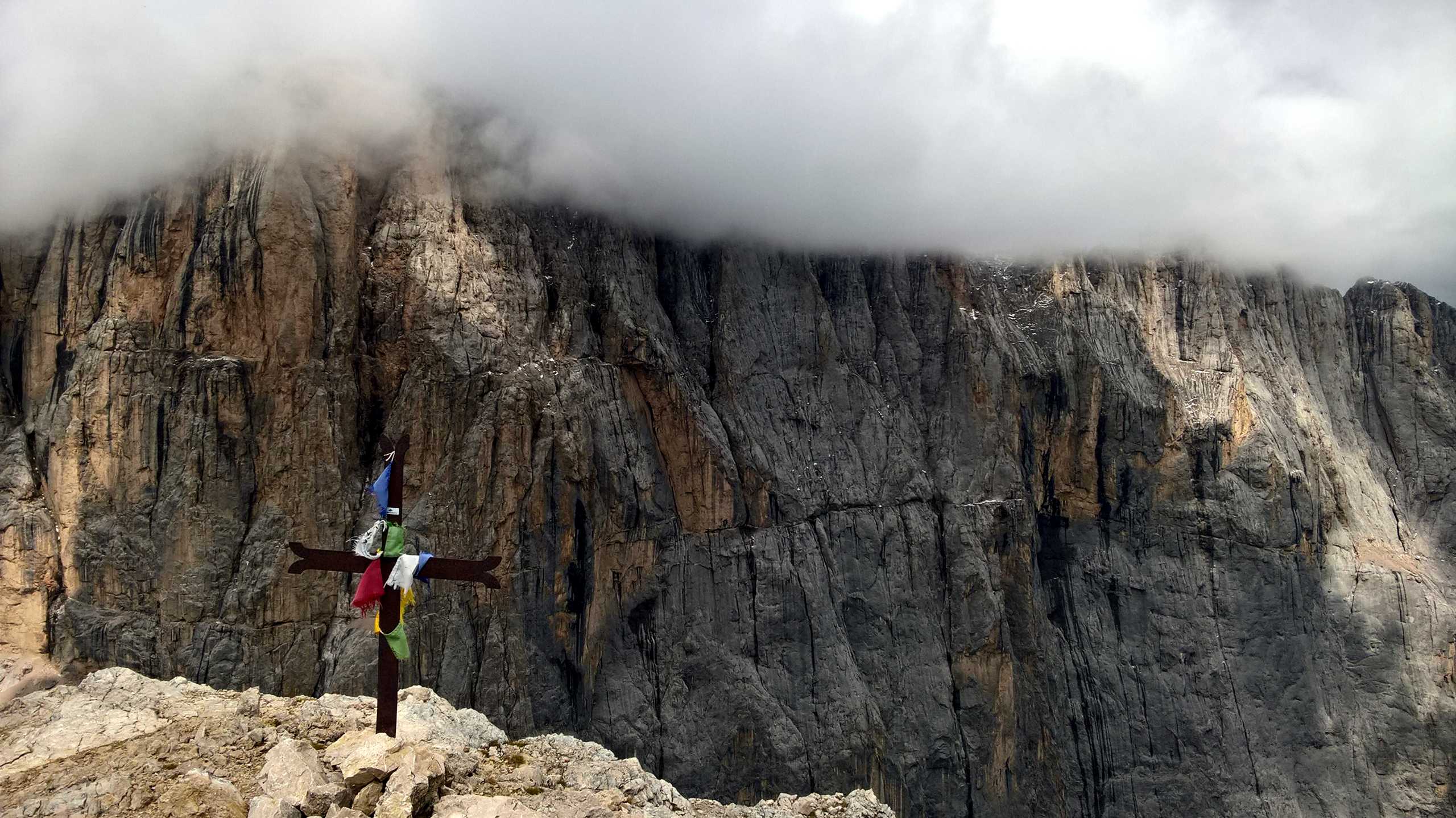
Croce di Cima Panarotta 
Trincera in Cima Panarotta 
Panorama 
Croce 1915-1918.
In ricordo dei nostri Standschutzen
Panorama verso Cima Panarotta 


Laghetto Delle Prese 
Malga Fravort (1580 m) 
Cartello Malga Fravort (1580 m) 
Rifugio Serot 
Rifugio Serot 

Giglio di Sant’Antonio 
Le Pozze (1431 m)


